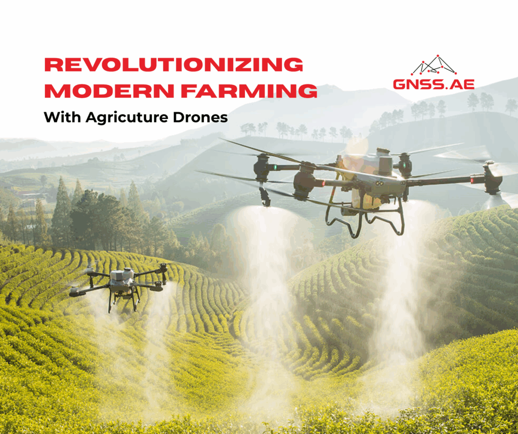
Today’s agricultural sector faces increasingly complex challenges. Farmers worldwide must balance productivity with sustainability amid climate change, rising global food demand and the urgent need to conserve natural resources. In this context, scientific and technological innovation has become essential. One of the most impactful breakthroughs is the adoption of drones for precision agriculture.
Agricultural drones are transforming how farmland is monitored, managed and treated. By bringing advanced sensing, automation and data-driven decision-making into the air, drones give farmers a clearer, more accurate understanding of their fields.
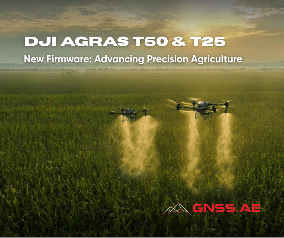
At GNSS.AE, as the official DJI Agriculture dealer in the Middle East and Africa, we closely follow these advancements. The latest firmware updates for the DJI Agras T50 and DJI Agras T25 represent a significant step forward, delivering higher spraying efficiency, improved safety, and smarter field operations.
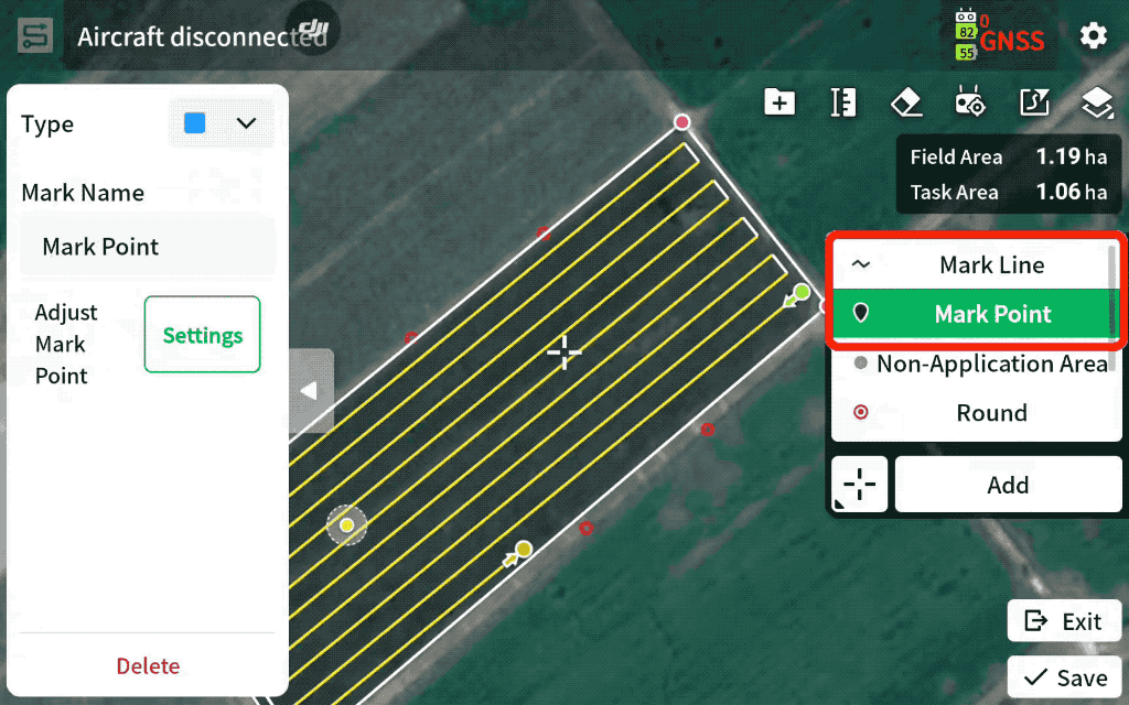
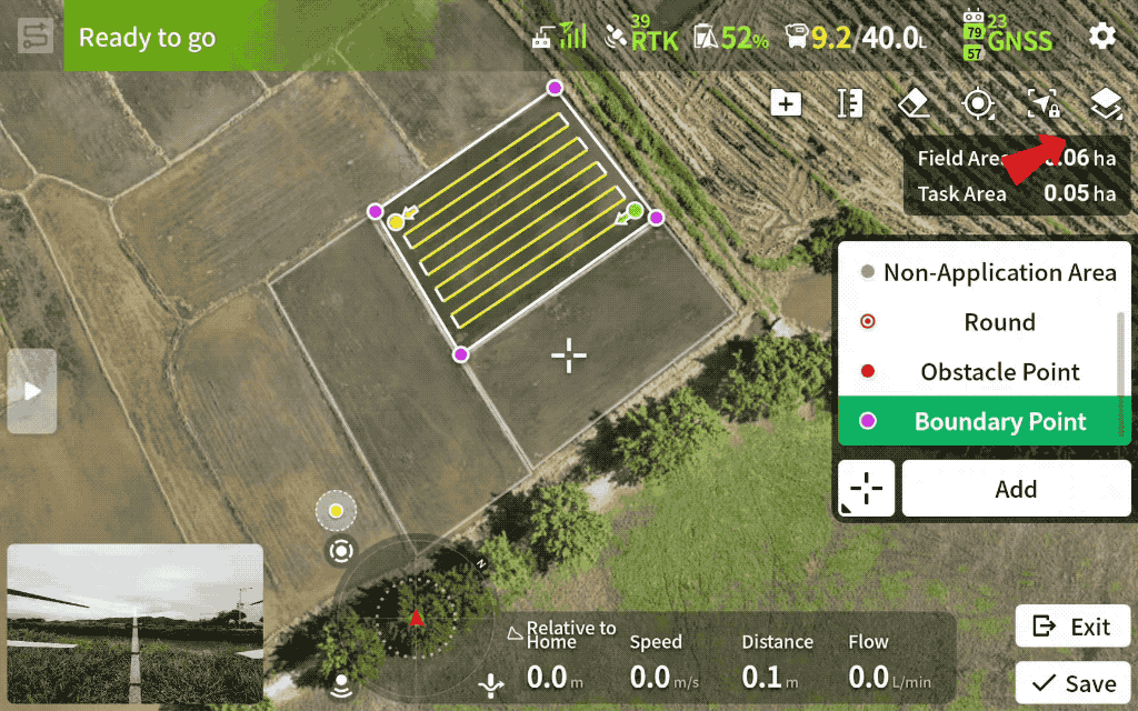
One of the most practical enhancements in the latest firmware is the ability to save manual flight paths or manually defined boundaries as reusable fields with a single click.
This flexibility allows farmers and service providers to adapt automation to the scale and complexity of each field.
DJI Agras T50/T25 now allows operators to add marker lines and marker points directly on the map during route planning, improving situational awareness and post-operation navigation.
These tools enhance both operational safety and efficiency, especially in complex or obstacle-rich environments.
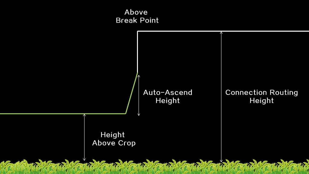
When an agricultural drone returns to its starting point after battery replacement or recharging, the downward airflow from the propellers can damage crops. The new Low Speed function addresses this issue by allowing the drone to descend and spray from a predefined height at reduced speed.
The initial spray height is calculated as:
Operating Height + Low Speed Climb Height
This controlled approach significantly reduces the risk of crop entanglement and physical damage near takeoff and landing zones.
A new Route Visualization function has been added in M+ mode, helping users identify stop points and align the drone’s direction using on-screen guidance. This reduces route deviation and ensures consistent spacing between flight lines, leading to more uniform application and improved overall results.
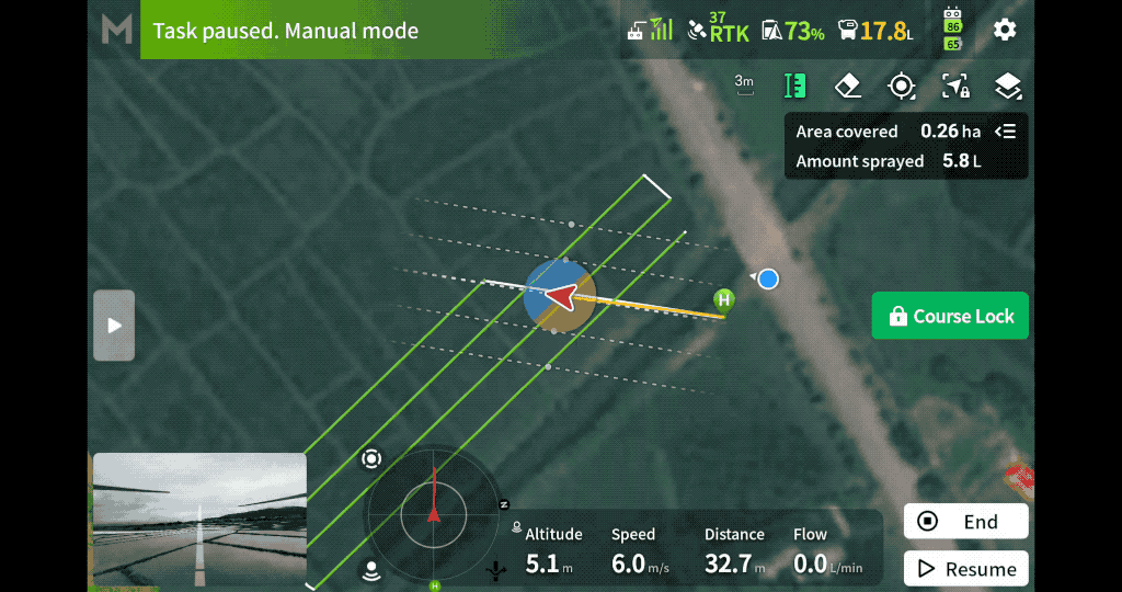
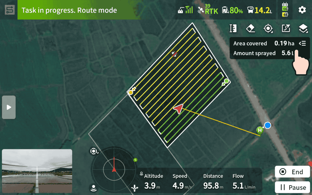
Operators can now view a real-time task summary while the drone is in operation. This includes:
Access to this information during flight supports better decision-making and helps optimize resource use on the fly.
Multi Plot Operations have been further refined to support complex agricultural workflows:
These optimizations are particularly valuable for large-scale operations where efficiency and logistics are critical.
The new Show Fields Nearby function displays surrounding fields on the map during planning. This helps operators:
The result is cleaner field data and more precise application.
With Spray/Spread When Turning enabled, the drone continues spraying while turning. This significantly improves edge coverage on orchard routes and irregular field shapes, reducing untreated areas and increasing overall application effectiveness.
The latest firmware also introduces several important safety and usability updates:
With these updates, DJI Agras T50 and T25 further strengthen their position as advanced tools for modern precision agriculture. By combining automation, intelligent planning, real-time insights, and enhanced safety, these drones help farmers increase efficiency, reduce waste, and protect crops—while supporting sustainable agricultural practices.
GNSS.AE is committed to helping agricultural professionals adopt and maximize these technologies, ensuring smarter farming for a more resilient future. Contact our team for more information.