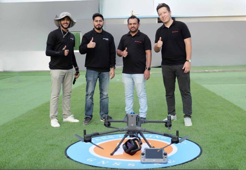
In collaboration with the DJI AERONEX regional team, GNSS.AE recently conducted field testing of the DJI Zenmuse L3 LiDAR payload integrated with the DJI Matrice 400 enterprise platform.
The objective of this evaluation was to assess real-world performance under operational conditions, including:
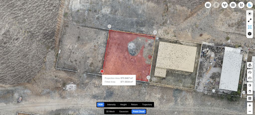
Point cloud density and structure
Vegetation penetration capability
Data consistency across corridor missions
Workflow efficiency and processing performance
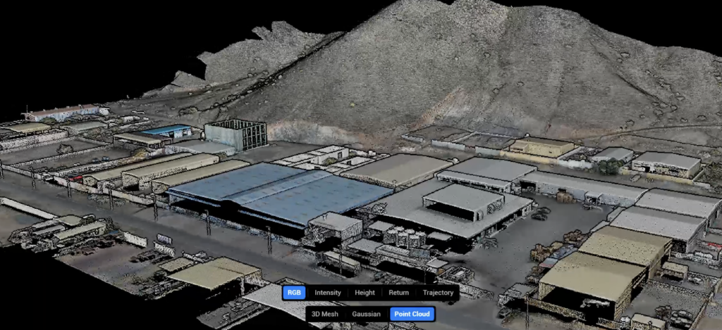
The Zenmuse L3 represents DJI’s latest advancement in airborne LiDAR technology, designed to deliver enhanced data acquisition performance for large-scale surveying, infrastructure inspection, and high-accuracy mapping projects.
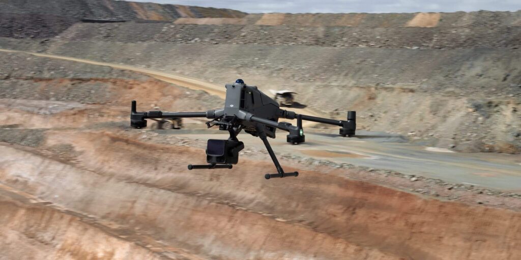
Paired with the Matrice 400 — DJI’s next-generation enterprise platform engineered for extended endurance and flexible payload configuration — the system demonstrates strong capability for demanding industrial environments.
As part of the validation process, comparative datasets were collected using DJI Zenmuse L2 under similar flight parameters.
A detailed technical comparison between L3 and L2 — including point cloud analysis, coverage assessment, and processing observations — will be published soon.
At GNSS.AE, field validation remains a critical step before recommending new technologies for client deployment.