Vegetation index was constructed based on the fingerprint spectrum of vegetation to complete the spatial distribution and area statistics of target vegetation in the designated area, and to provide quantitative vegetation canopy density data for scientific research and production inagriculture, forestry and grass, ecology and other fields.
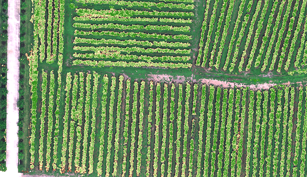
By using vegetation factors such as NDVI and LAI, quantifying the consistency of vegetation canopy status at different spatial scales, and using characteristic spectra of vegetation in different health states to quantitatively assess ve-getation growth,which can prov-ide data support for irrigation, fe-rtilization, plant protection, yield evaluation and other work.
According to the characteristic spectrum of pests and diseases and crop growth, the severity of pests and diseases and the spatial distribution of crop health status can be quantitatively judged, which can provide data support for disaster assessment, crop yield estimation, agricultural and forestry plant protection, etc.
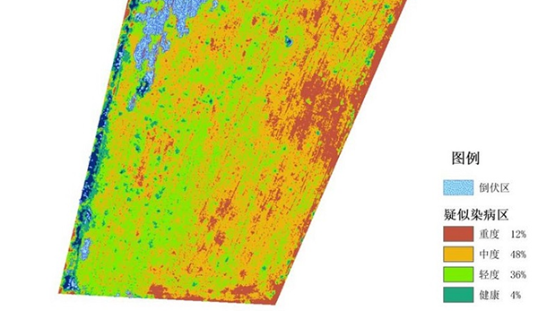
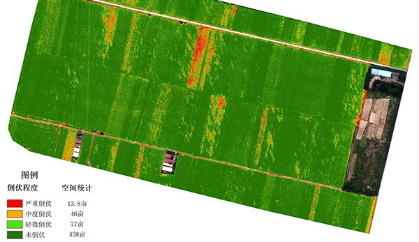
According to the difference of canopy spectrum and leaf surface texture, a crop lodging evaluation model was constructed, and the lodging degree and spatial distribution of different lodging degrees were quantitatively described by combining with the statistical data of ground sampling points, which provided data support for disaster assessment and crop yield estimation.
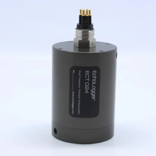
| Indicator name | Indicator parameters |
| Band configuration | 4 MS & 1 RGB |
| Target surface size | MS:1/4″;RGB:1/4″ |
| Effective pixels | MS:1.3Mpx;RGB:8.0Mpx |
| Shutter type | MS:Global shutter;RGB:Shutter |
| Quantitative figures | MS:12bit;RGB:8bit |
| Viewing Angle | MS:36.7°×31.3° ; RGB:37.5°×28.6° |
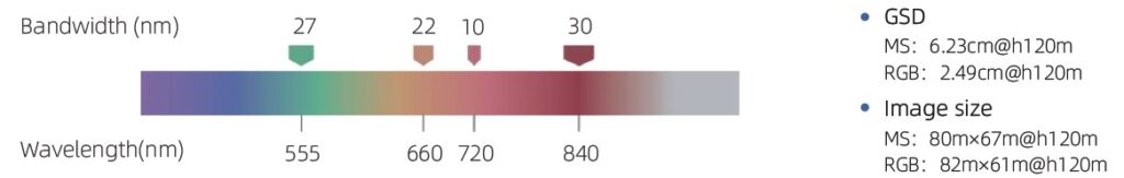
| GSD | MS: 6.23cm@h120m RGB: 2.49cm@h120m |
| Image size | MS: 80m×67m@h120m RGB: 82m×61m@h120m |
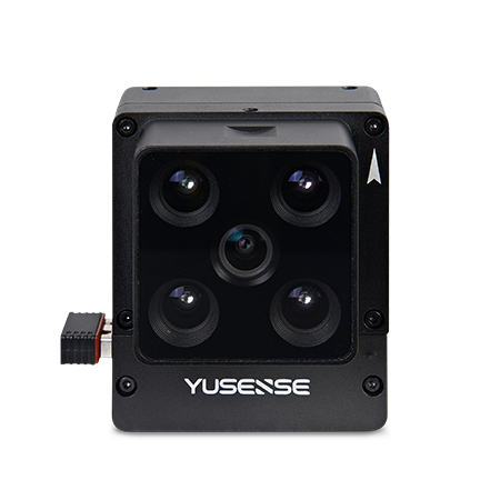
| Spectral band[1] | 555nm@27nm,660nm@22nm, 720nm@10nm,840nm@30nm, RGB |
| Optical window | Optical-grade glass window |
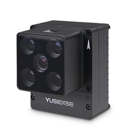
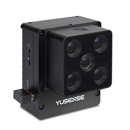
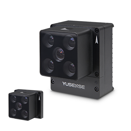
| Size | ≤55mm×65mm×50mm |
| Weight | ≤175g |
| Installation interface | 7×M3 |
| Power supply mode[2] | 12V |
| Power consumption | ≤7W@12V |
| Image format | Multispectrum: 16 bit original TIFF & 8 bit reflectance JPEG;RGB: 8bit JPEG (including GPS and ambient light information) |
| Storage medium | Standard with 64GB,A maximum of 128GB is supported(The transfer speed of the SD card needs to be U3 or higher) |
| Data processing | Yusense Map、Yusense Map Plus |
| software | WIFI (WEB interface access)/Ethernet/UART /Yusense net |
| Shoot trigger | External trigger, Timed trigger, Overlap rate trigger |
| Frequency of taking[3] pictures |
1Hz |
| Operating ambient temperature |
-10℃~+50℃(Relative wind speed≥1m/s) |
| Storage Environment Temperature | -30℃~+70℃ |
| Environmental humidity | RH(%)≤85%(Non condensation) |
| Product certification | CE、FCC、RoHS |
Inquire price for Yusense MS400