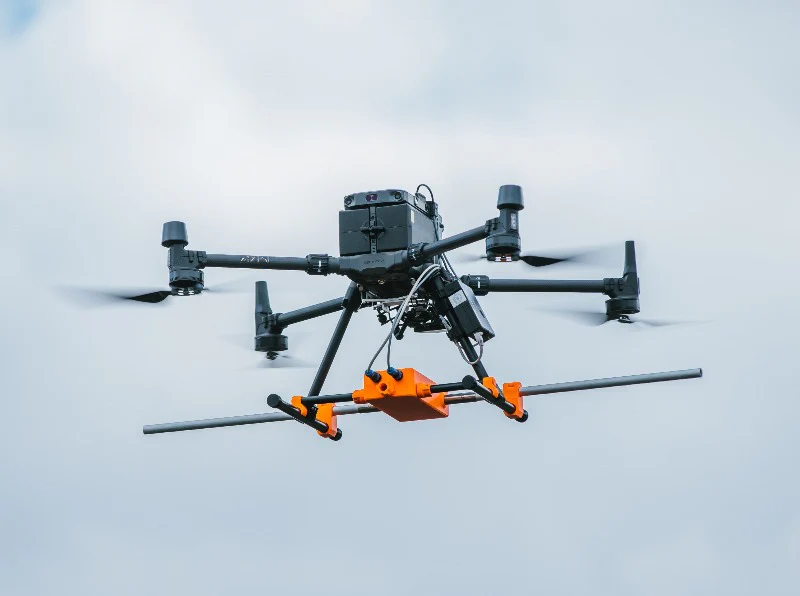
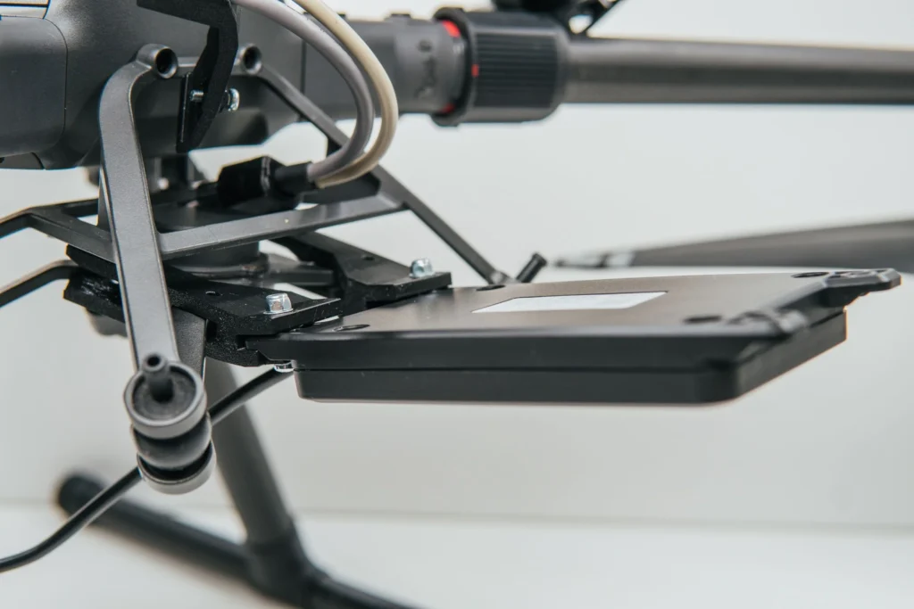
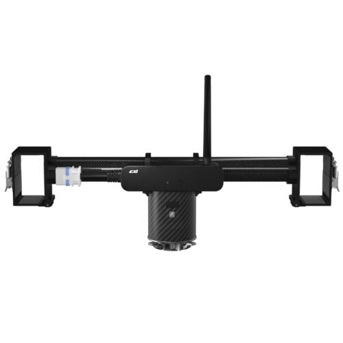
Zond Aero 500 GPR plus all required components and software for use with DJI M350/M300/M600 drones (drone not included).
For other types of drones, please ask for a quote.
Lightweight GPR system, suitable for medium-sized drones like DJI M300 RTK.
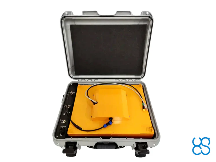
Includes a transportation box and mountings for the DJI M300/M350 RTK drone. Mounts for other types of drones are available upon request.
HS Code: 90158020 (meteorological, hydrological, geophysical instrument)
FCC Code: 2AUQQ-ZONDAERO500
IC Code: 25515-ZONDAERO500
Please note that additional components and software must be ordered to use this GPR with drones. It is recommended to order a complete set.
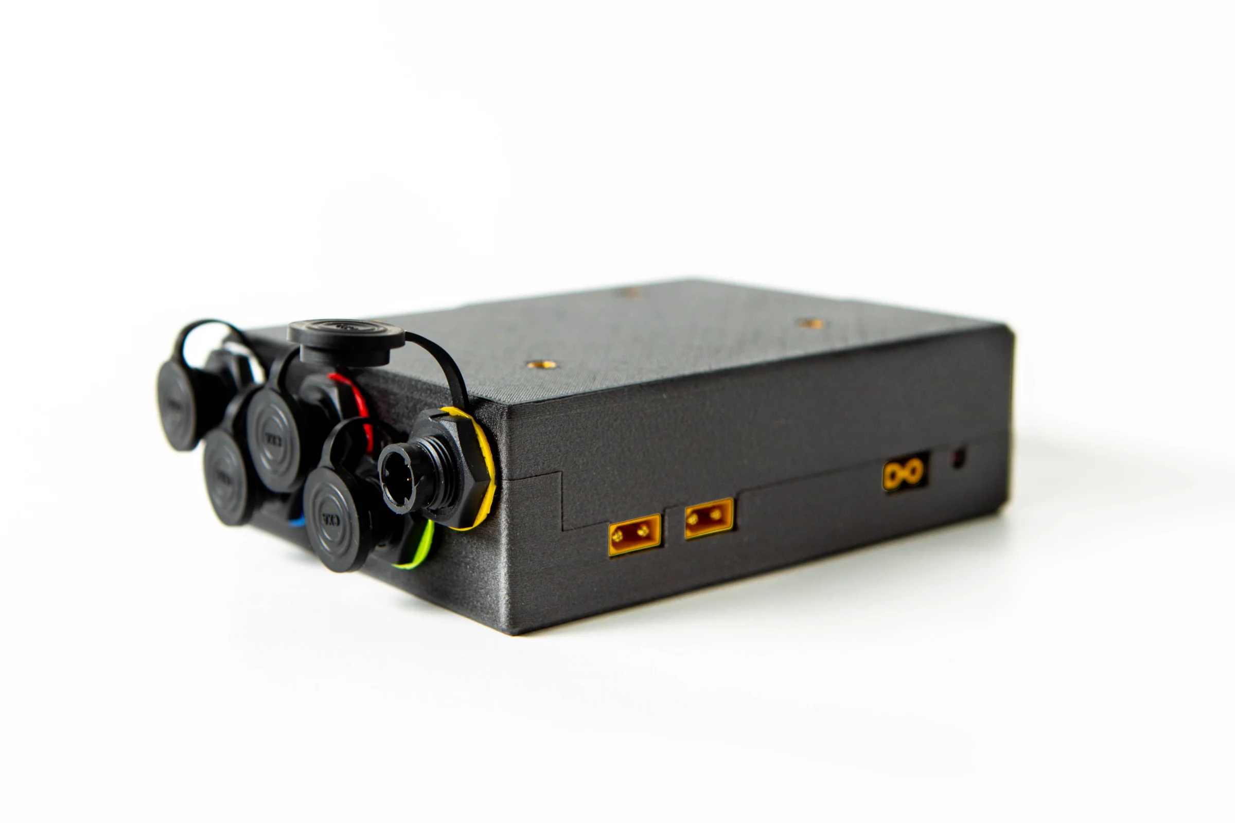
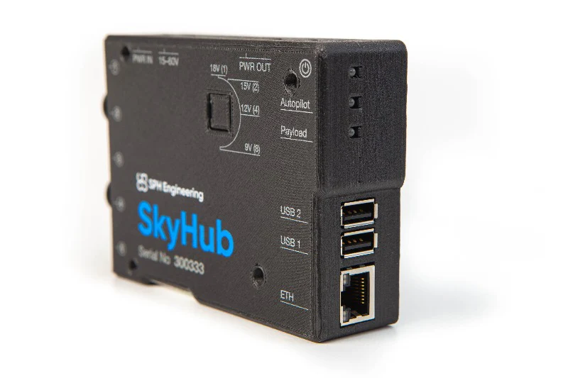
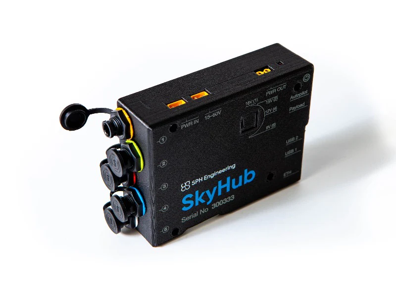
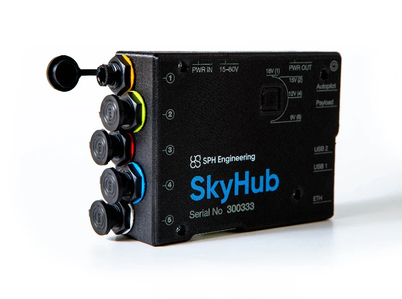
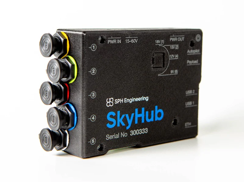
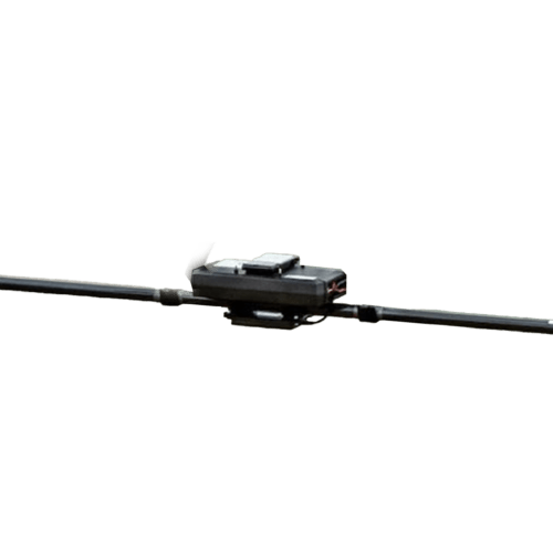
SkyHub is an onboard computer to log geotagged data from various sensors like GPR, altimeter, magnetometer, echo sounder, or methane detector.
HS Code: 90158020 (meteorological, hydrological, geophysical instrument)
Packaging information:
By default SkyHub comes with mountings and cables for the DJI M300/M350 RTK drone. Mounts and cables for other types of drones are available upon request.
The SkyHub should not be ordered separately, it is only useful when combined with various kits/sensors and software options. If you think you only need SkyHub, please request a quote and we’ll get back to you as soon as possible.
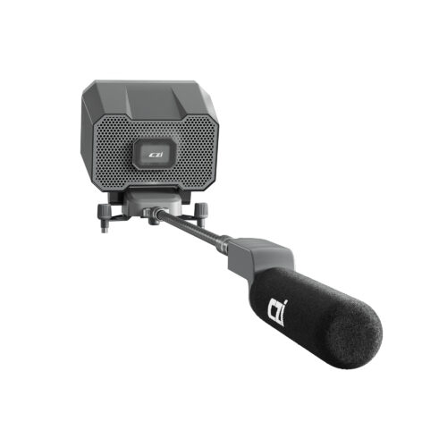
Radar altimeter for SkyHub onboard computer.
The main benefit of radar altimeter: it works in ANY conditions like bright sun, fog, snow, rain, and over any type of surface.
It is the customer’s responsibility to check the possibility to use a 24Ghz altimeter in a particular country.
For new customers, it is recommended to order a combo consisting of software, hardware, and training.
HS Code: 90151000 (rangefinders)
FCC ID: 2A6WU-NRA24
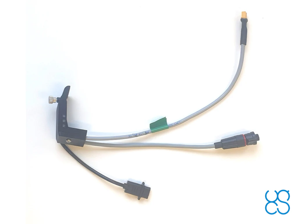
Smart cable assembly to connect SkyHub 3rd generation to DJI M300/M350 RTK drone.
The cable assembly has 2 connectors for the SkyHub:
For the drone side native DJI SDK Round Ribbon Cable is used.
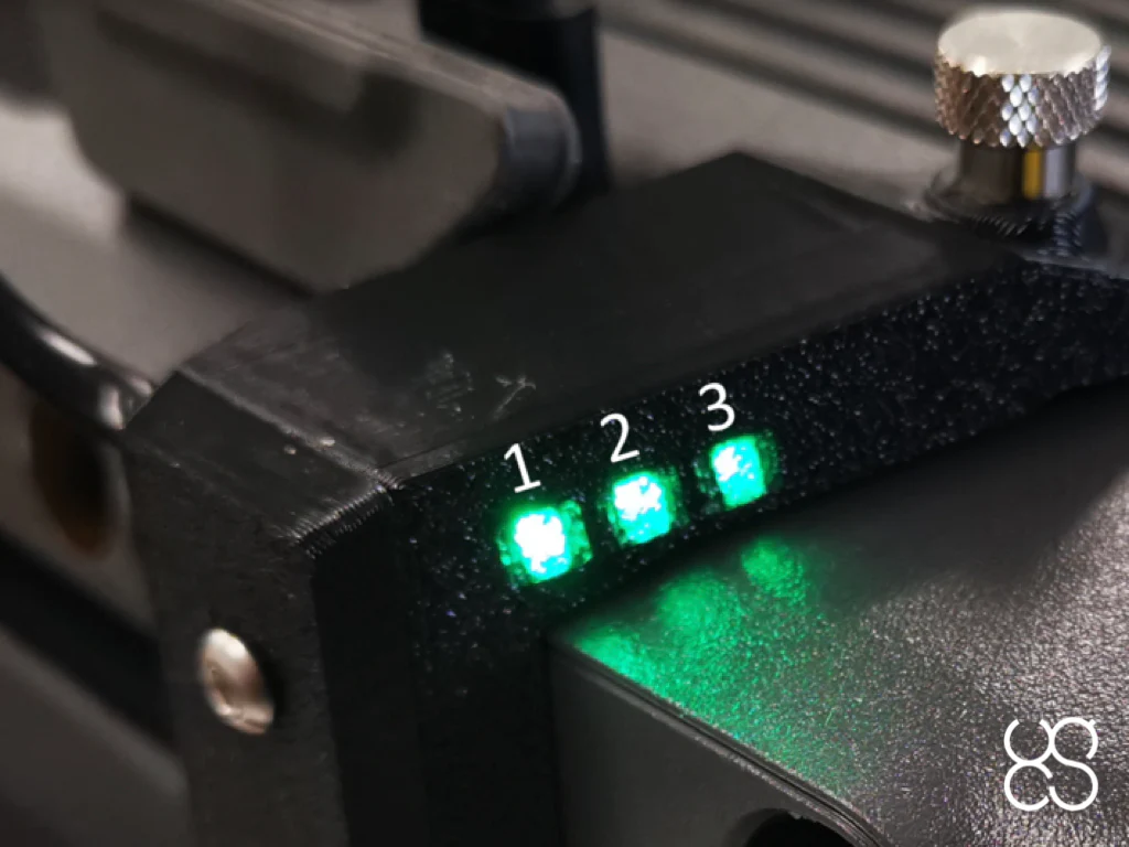
Mounting bracket has built-in LED indicators:
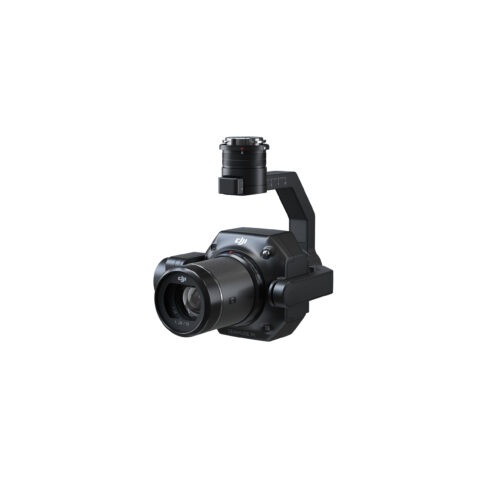
UgCS EXPERT is not restricted to any certain LiDAR sensors only. Most sensors can be used as long as they are carried by a supported drone.
However, we are officially supporting the following LiDAR sensors / manufacturers – DJI L1, L2, YellowScan, Phoenix LiDAR, RIEGL, LIDAR USA. GeoCue, Rock Robotics, GeoSun LIDAR, 3DT Scanfly, Topodrone, Balko Tech.
Software package for GPR integration.
Includes firmware for SkyHub on-board computer and companion application for UgCS.
Supports Radar Systems (Zond Aero and Zond-12e) and Radarteam (Cobra Plug-In and Cobra CBD) GPR systems.
Requires SkyHub and UgCS license.
Allows following terrain with very high precision on low altitude using an altimeter sensor.
For new customers, it is recommended to order a combo consisting of software, hardware, and training.
It is the customer’s responsibility to check the possibility to use a 24Ghz altimeter in a particular country.
Laser altimeter: can be used in any country, but works not so reliable in diverse environmental conditions and over high-reflective surfaces like water, ice, snow, and sand (under the bright sun).
This service is to help customers of Integrated Systems products to make their systems up and running.
Integrated System usually consists of a drone, UgCS software, SkyHub onboard computer, True Terrain Following system, and some sensor (GPR, magnetometer, echo sounder, methane detector, etc.). The first time setup of such a complex system using only manuals from manufacturers (drone, sensor, various software) may be rigorous and require a long time.
Service includes up to 8 hours of service delivered by a qualified SPH Engineering Expert. Initial setup usually takes up to 4 hours depending on the system complexity, and 4 hours are reserved for additional support during the first customer’s missions.
The combined course delivers knowledge necessary for efficient airborne GPR use – from mission planning to data interpretation.
The course is offered in two options:
| Type | Single-channel with shielded antenna |
| Center frequency | 500 MHz |
| Operating bandwidth | 200-900 MHz (-12 dB) |
| Samples | 512 per trace |
| Sample rate | 25600 samples/second |
| Scan rate | 50 scans/s |
| Sample output | 16-bit digital raw data |
| Time range | Selectable time range 50, 100, 200 or 300ns |
| Depth | Up to 4 meters in average normal soil with 100ns time range |
| Data format | Standard Geophysical SEGY Data Format (.sgy) with traces geotagging |
| ENVIRONMENTAL | |
| Temperature | -20°C to 60°C internal temperature |
| Humidity | 96% non-condensing |
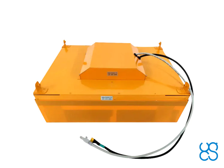
| Ingress protection | IP68 in a protective box (used for transportation and for ground surveys) IP52 in airborne variant |
| MECHANICAL | |
| Size (L x W x H) |
|
| Weight |
|
| BATTERY | |
| Airborne variant | Drone main battery is used to provide power to the GPR using standard power socket of the drone intended for payload |
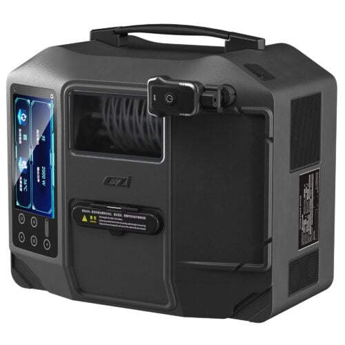
| Ground surveys | The battery is integrated into a protective box, operating time up to 12 hours 99 W/h Li-Ion |
| WHAT’S IN THE KIT | |
|
|
Inquire price for UgCS GPR Bundle: Radar Systems Zond Aero 500 GPR