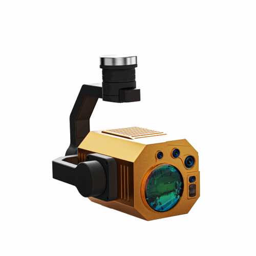
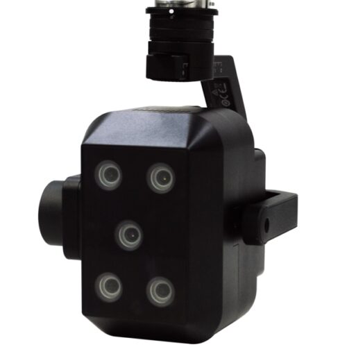
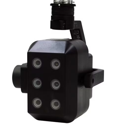
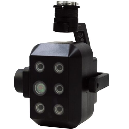
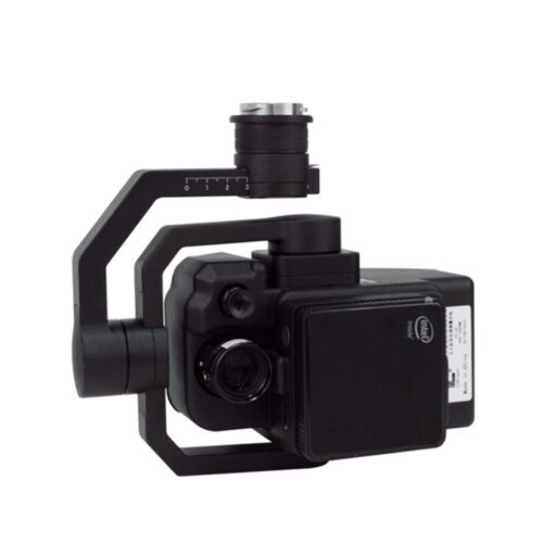
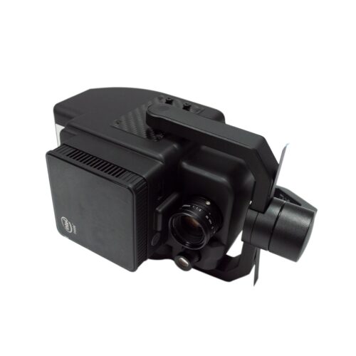
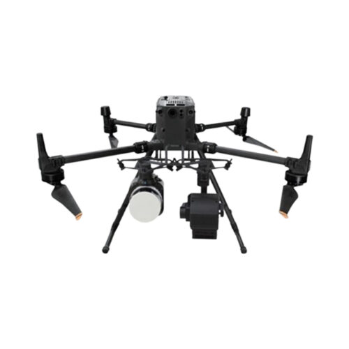
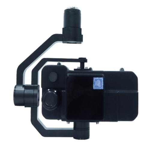
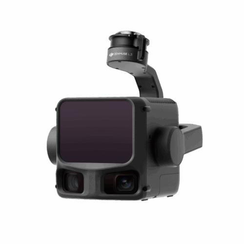
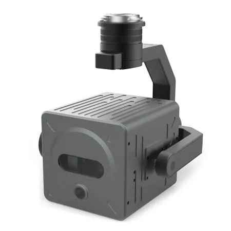
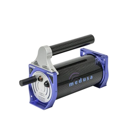
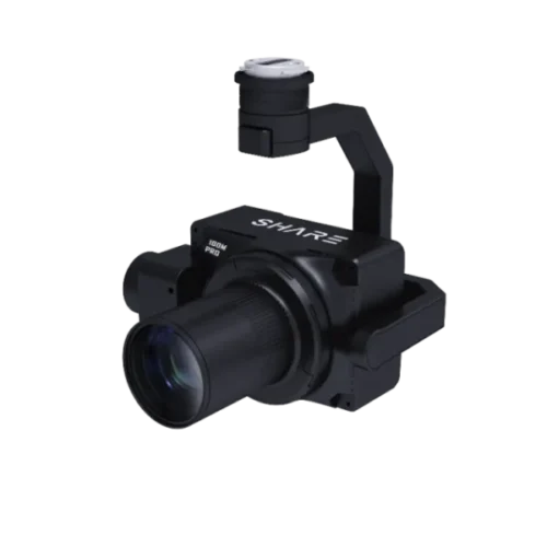
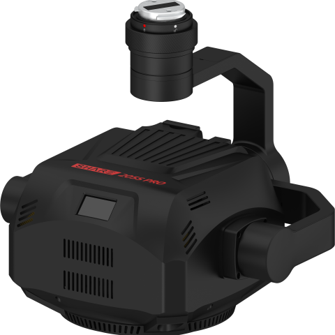
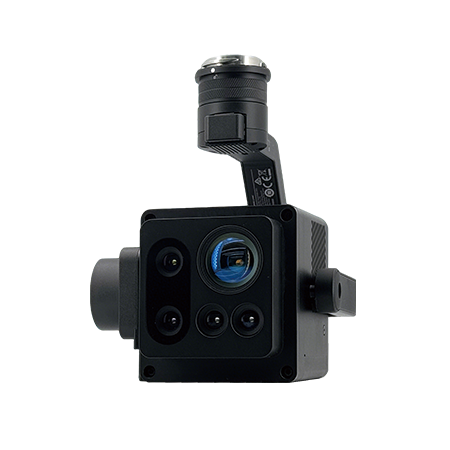
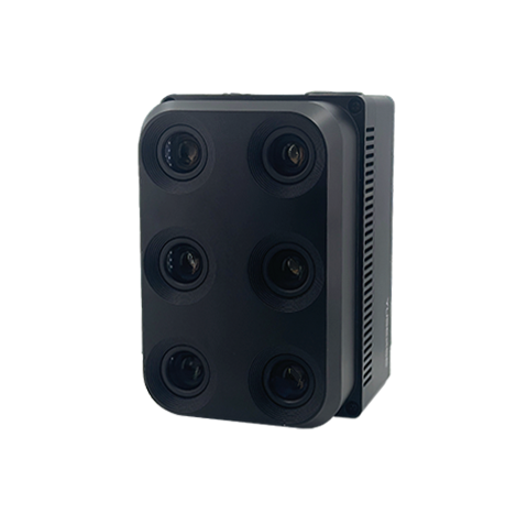
Features
Delivering Proven ROI & Immediate Value
Decrease flight time by 60%
Capture 9x fewer images
Eliminate post-processing
Get data 5x faster
Pair with our Science-Grade Multispectral Sensors
6X Multispectral
Science-grade multispectral imagery with fast-frame rate performance combined with high radiometric accuracy for more advanced imagery.
6X Thermal
Extend optics with pixel-level temperature measurement across all imagery, delivers even more precise insights to power critical decisions.
65R
Get sharper imagery with the ultra-high-resolution aerial sensor purpose-built for seamless drone integration.
Cut Project Time by 8x
Designed for precision and efficiency, the DGR System streamlines workflows so you can focus on what matters most — making critical decisions.
Real-World Field Analysis Example
CONVENTIONAL | DGR SYSTEM | |
Acres | 150 | 150 |
Altitude | 120 M | 120 M |
Flight Time | 45 minutes | 17.5 minutes |
Image Captures | 1,115 | 129 |
Data Volume | 29.0 GB | 3.4 GB |
Post-Processing Time | 5 hours | 10 minutes |
Total Project Time | 6 hours | 43 minutes |