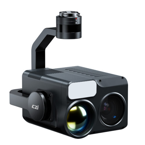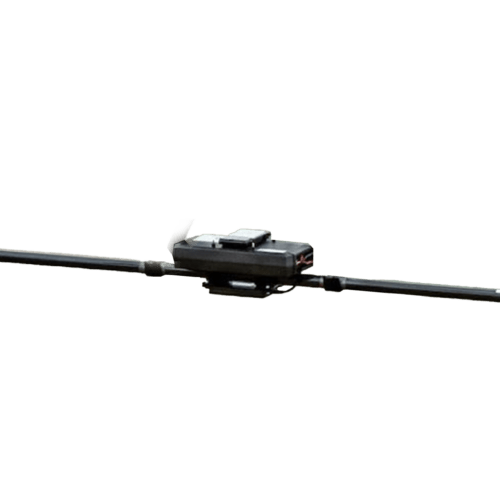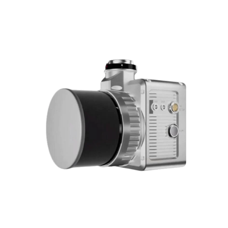
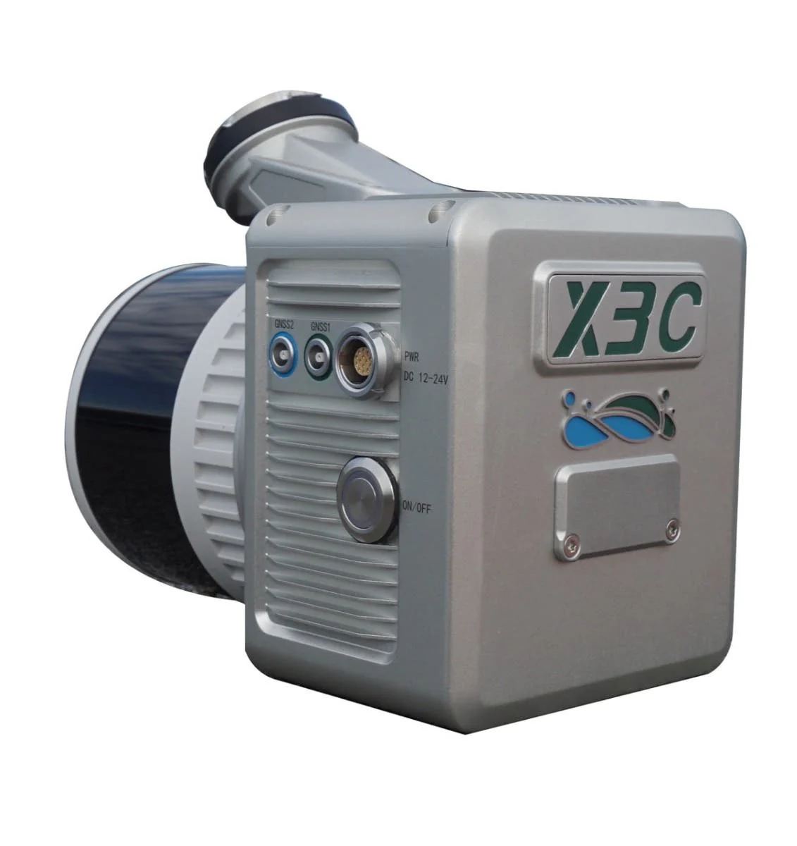
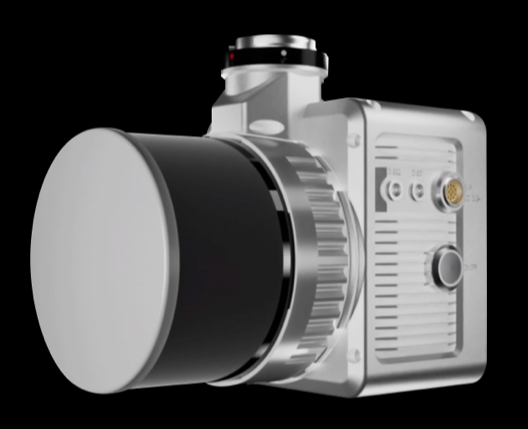
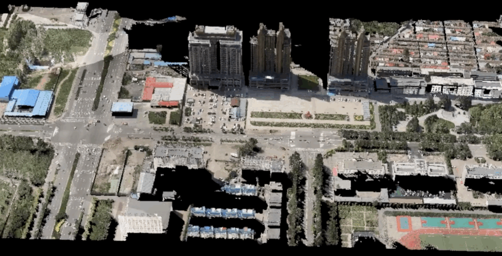
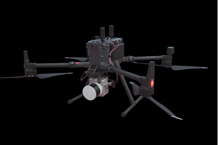
The LiAir X3C-H is a new compact high-performance UAV LiDAR system. It adopts a new integrated design style and built-in high-resolution mapping camera, providing higher performance and convenient operation for power-line inspection, topographic surveying, agricultural and forest monitoring, and more.


with an unpluggable TF Card and engineered data storage model that allows for one-touch operation and copying of laser and camera data.
The built-in high-resolution mapping camera has been upgraded to 26 megapixels, providing ultra-clear picture quality and enabling the creation of high-quality true-color point clouds and orthophotos for Photogrammetry.
Support job status monitoring, device parameter configuration, 3D real-time point cloud display. The new UI makes the flight operation experience more user-friendly.
| Detection Range | 80 m @ 10% reflectivity 200 m @ 54% reflectivity 300 m @ 90% reflectivity |
System Accuracy (Vertical) | 5 cm @ 70m | |||||
| Typical Flight Speed | 5-10 m/s | |||||||
| Weight | 1.12 kg | Storage | 256 GB TF Card | |||||
| Voltage | 12~24 V | Power Consumption | 24 W | |||||
| Operating Temperature | -20~50 ℃ | Storage Temperature | -30~60 ℃ | |||||
| Communication | WiFi | |||||||
| LiDAR Sensor Parameters | ||||||||
| Wavelength | 905 nm | Number of Channels | 32 | |||||
| Point Rate | Single Return: 640,000 pts/s Dual Return: 1,280,000 pts/s Triple Return: 1,920,000 pts/s | FOV | 360° (Horizontal)×40.3° (Vertical) | |||||
| Number of Returns | 3 | |||||||
| Inertial Navigation System | ||||||||
| GNSS | GPS, GLONASS, Galileo, BDS | Azimuth Accuracy | 0.038° | |||||
| Attitude Accuracy | 0.008° | IMU Data Frequency | 200 Hz | |||||
| Camera Parameters | ||||||||
| Pixels | 26 MP | Image Resolution | 6252×4168 | |||||
| Focal Length | 16 mm / 24 mm (Equiv. Focal Length) | |||||||
| Software | ||||||||
| Control Software | GreenValley | Pre-processing | LiGeoreference | |||||
| Post-processing | LiDAR360 / LiPowerline (Optional) | |||||||
| Compatible Platforms | ||||||||
| DJI, Freefly, etc. | ||||||||
| Handheld Accessories | ||||||||
| System Parameters | ||||||||
| Handheld Size | 181.8×108×88 mm | Handheld Weight | 0.68 kg(Including Base) | 15.2 V | ||||
| Battery Box Size | 146×57×148 mm | Battery Capacity | 5870 mAh | Antenna | AT-106 | |||
| Single-Flight Continuous Operation Time | Maximum 55 mins | Battery Box Weight | 0.81 kg | Working Time of One Battery Block | 3 h | |||
| Applicable Environment | Applicable to multiple scenarios both indoors and outdoors | |||||||
| Mapping Method | ||||||||
| Mapping Principle | SLAM, PPK-SLAM | Real-Time Calculation | Not Supported | |||||
| Data Results | ||||||||
| Absolute Accuracy | ≤5 cm | Point Cloud Format | LAS, LiData | |||||
Inquire price for GreenValley LiAir X3C-H New Compact High-performance UAV LiDAR System