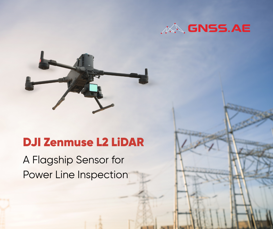
LiDAR technology has become indispensable in the modern electrical industry. During power line inspections, field teams frequently encounter significant challenges including inaccessible locations, hazardous terrain, time constraints, and stringent accuracy requirements for measuring cable distances, detecting damage, and ensuring grid security.
DJI Zenmuse L2, a next-generation LiDAR sensor capable of producing highly detailed and accurate data. This sensor is specifically engineered for mapping and inspection applications, particularly for electrical distribution and transmission networks. When mounted on a DJI Matrice 400 drone, this combination creates a comprehensive inspection system ready for efficient and safe field operations.
DJI Zenmuse L2 LiDAR sensor delivers exceptional performance with several key capabilities. It can generate up to 240,000 points per second, enabling extremely detailed mapping operations. The sensor offers an impressive measuring distance of up to 250 meters, which can extend to 450 meters on reflective surfaces. With vertical accuracy of 4 cm and horizontal accuracy of 5 cm, it meets the demanding precision requirements for cable and infrastructure inspection.
DJI Matrice 400 incorporates several advanced features designed specifically for power line operations.
DJI Zenmuse L2 serves multiple practical applications in the electrical industry:
The technical specifications of the DJI Zenmuse L2 sensor demonstrate its robust capabilities:
| Detection Range | Up to 450m |
| Point Cloud Rate | 240,000 points per second |
| Echo | Up to 5 returns |
| Field of view | 70° |
| Accuracy | Vertical 4cm, Horizontal 5cm |
| Survey efficiency | Up to 2.5 km² per flight |
| RGB camera | 20MP with 4/3 CMOS sensor |
DJI Zenmuse L2 LiDAR sensor represents more than just a technical instrument—it provides a comprehensive solution to real-world challenges in power line inspection and energy infrastructure management. For professionals working in power line inspections or energy infrastructure projects, this technology offers significant advantages in time savings, safety improvements, and accurate results delivery. The combination of advanced sensing capabilities, intelligent automation features, and proven reliability makes DJI Zenmuse L2 an invaluable tool for modern utility operations.
At GNSS.AE, we are here to help you choose the right solution tailored for your specific mission requirements. Our expertise in surveying and mapping technologies ensures you get the most suitable equipment and support for your power line inspection and infrastructure projects.