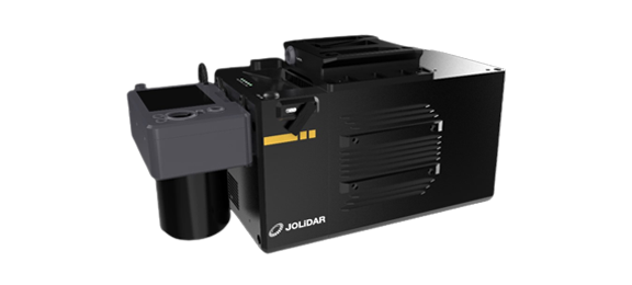
The JoLiDAR-1500 is a game-changer for aerial data acquisition. This innovative LiDAR system seamlessly integrates a high-precision laser scanner, an advanced navigation system, and a high-resolution camera, empowering professionals to capture the world in stunning detail. Its versatility allows it to be mounted on various drones, making it ideal for diverse applications like topographic mapping, powerline inspection, mining surveying, and much more.


Capture intricate details with 5mm measurement accuracy and 1.5cm relative accuracy.

Map up to 53km² on CW-25E in a single flight (50% overlap, 500m relative height).

Capture detailed data from up to 1500 meters away at 80% reflectivity.

Capture more data points per scan for detailed results.

Penetrate dense vegetation and complex environments

Seamlessly synchronize high-resolution imagery with LiDAR data for comprehensive analysis

Operates freely over large areas without compromising accuracy.
With its impressive 5mm measurement accuracy, the JoLiDAR-1500 ensures detailed capture of even the finest features. Additionally, its 1.5cm relative accuracy ensures consistent and reliable point cloud generation, ideal for creating highly accurate 3D models.
The JoLiDAR-1500 boasts an impressive 1500m scanning range, enabling efficient data acquisition over large areas. Under specific conditions, with a drone like the CW-25E, it’s estimated to cover up to 53km² in a single flight (assuming 50% overlap and 500m relative height).
The JoLiDAR-1500 boasts a 2000kHz pulse frequency and 300 lines/sec scanning speed, allowing for fast and efficient data capture. This rapid performance minimizes flight time and optimizes operational efficiency, making it ideal for large-scale projects.
The JoLiDAR-1500 features 7 echo capabilities, allowing the system to potentially capture data from up to 7 different reflecting surfaces within a single laser pulse. This capability is particularly beneficial for penetrating dense vegetation and gaining a deeper understanding of complex environments.
The JoLiDAR-1500 features a 75° Field of View (FOV). While a narrower FOV can potentially lead to higher point density within the covered area due to concentrated laser pulses. It is particularly valuable for applications requiring detailed information, such as high-resolution terrain mapping and precise vegetation characterization.
* All performance data in the foregoing pages are theoretical values obtained by JOUAV® internal laboratories through tests carried out under particular conditions. For more information on the specific testing conditions, refer to the aforementioned product details. Actual performance may vary owing to differences in individual product configuration, software versions, application conditions, and environmental factors. All data is subject to actual usage.
Our intelligent fusion process combines highly accurate positional data from RTK with dynamic motion data from the IMU in real-time. This ensures accurate georeferencing even in challenging environments, without the need for external reference points.
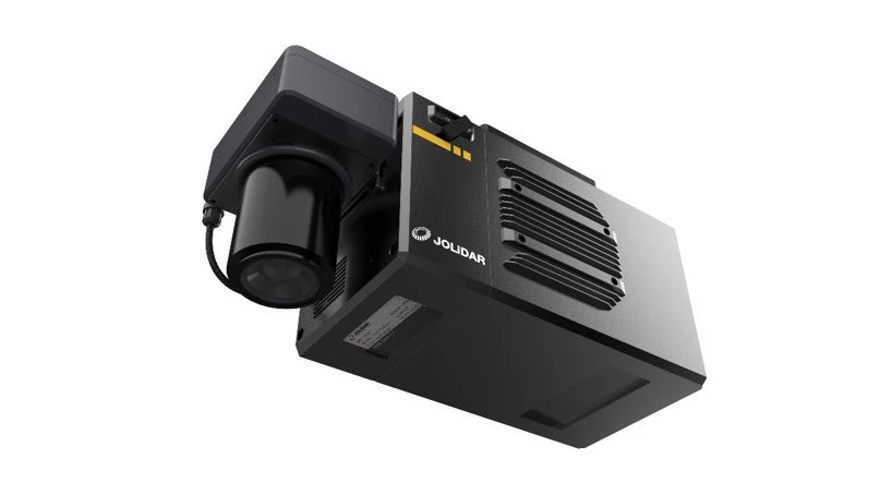
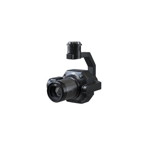
The JoLiDAR-1500 goes beyond just LiDAR data collection. It’s equipped with a powerful Full-frame RGB Camera featuring a high resolution of 61MP and a large sensor size (35.7mm × 23.8mm). This camera captures detailed color images (9504 × 6336 pixels) with a 21mm focal length, providing valuable visual context alongside the rich LiDAR data.
Inquire price for JOUAV JoLiDAR-1500