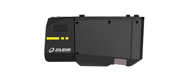

Achieve 5cm accuracy at a distance of 300m.

Up to 25km² in a single flight with CW-15 drone (50% overlap, 200m relative height).

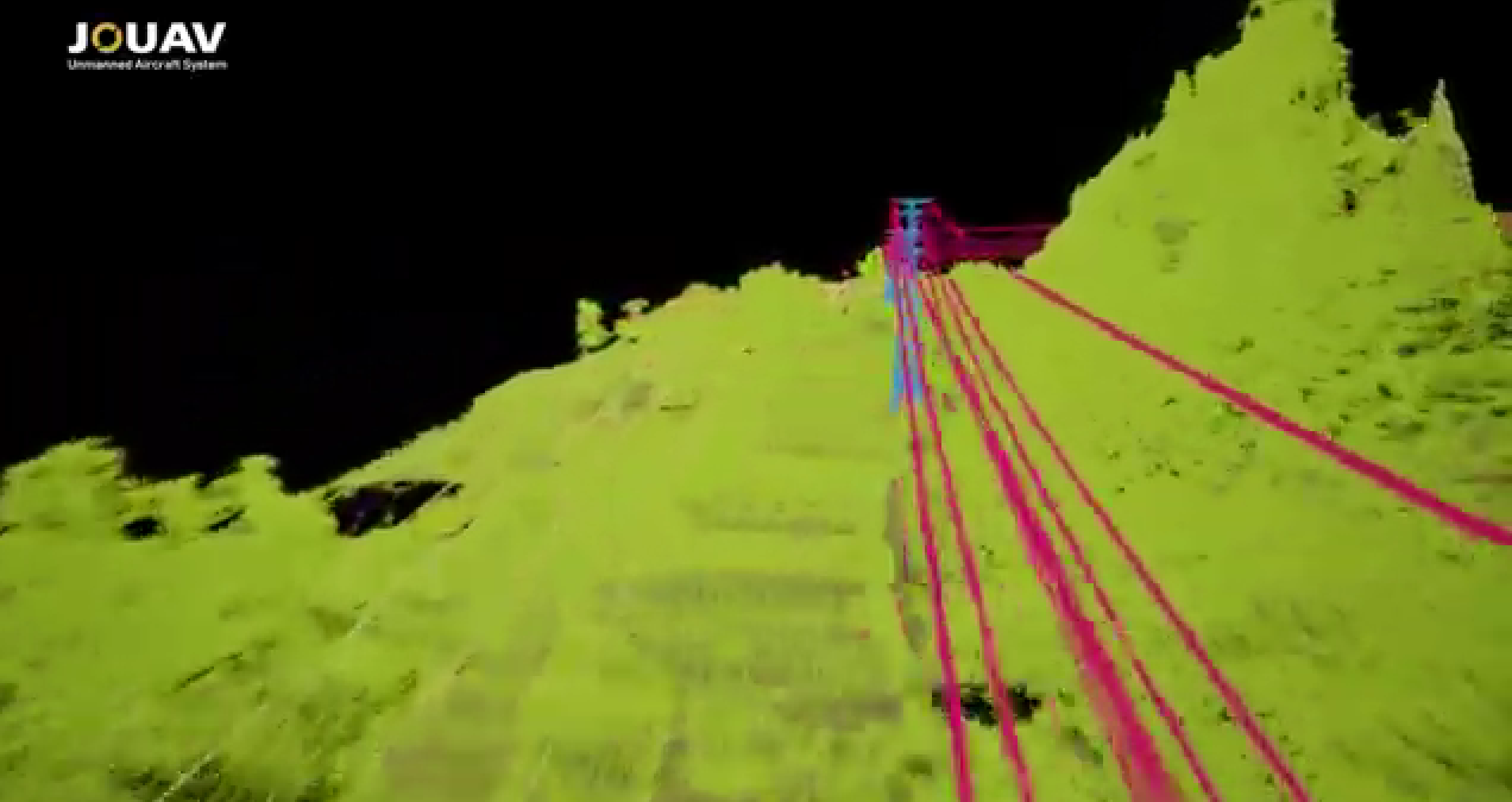
Capture more ground points, even in densely vegetated areas.

Detect objects up to 1000m away at 80% reflectivity.

Operates freely over large areas without compromising accuracy.

Monitor and control your LiDAR with ease using JOUAV FlightSurv.
With an impressive 5mm measurement accuracy and 10mm repetition accuracy, you can trust the JoLiDAR-1000 to deliver highly detailed and reliable results, instilling confidence in your project outcomes.
With its 1000m scanning range and wide 100° field of view, the JoLiDAR-1000 covers more ground per scan, reducing the need for multiple setups. This efficiency makes it a cost-effective choice for surveying, especially in challenging terrain and complex environments.
With a laser pulse frequency of up to 1500 kHz and a line scanning rate of 300 lines/second, the JoLiDAR-1000 generates dense point clouds that provide a comprehensive representation of the scanned environment. This dense data minimizes the impact of noise and outliers, resulting in more accurate and reliable measurements.
Equipped with a 26 MP Half-Frame Camera, the JoLiDAR-1000 seamlessly integrates high-resolution images (6252×4168) with LiDAR data, offering true-color point clouds for easier interpretation and analysis of complex environments.
Make informed decisions on-site with real-time generation of laser point clouds and orthophotos, eliminating the wait for data and providing actionable insights when you need them most.
Our intelligent fusion process combines highly accurate positional data from RTK with dynamic motion data from the IMU in real-time. This ensures accurate georeferencing even in challenging environments, without the need for external reference points.
Unlike many traditional LiDAR systems, the JoLiDAR-1000 operates without the need for a base station or ground control points (GCPs). This eliminates dependence on additional infrastructure and simplifies the data acquisition process.
* All performance data in the foregoing pages are theoretical values obtained by JOUAV® internal laboratories through tests carried out under particular conditions. For more information on the specific testing conditions, refer to the aforementioned product details. Actual performance may vary owing to differences in individual product configuration, software versions, application conditions, and environmental factors. All data is subject to actual usage.


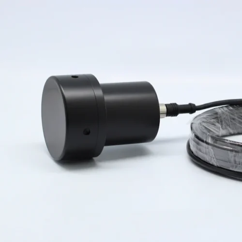
Inquire price for JOUAV JoLiDAR-1000