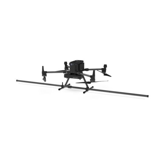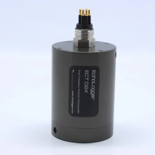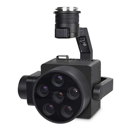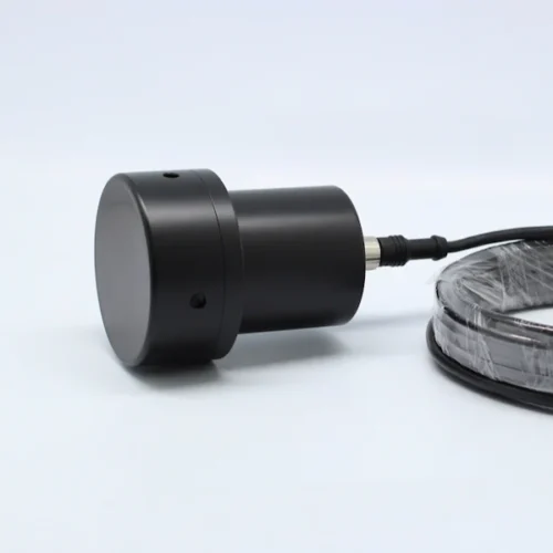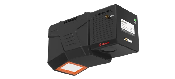
The JoLiDAR-120G is a high-performance UAV LiDAR system designed to conquer the challenges of complex terrain. Its long-range capability, high-frequency scanning, and multi-echo processing deliver dense, accurate point clouds for a wide range of applications.


Achieve down to 10mm measurement accuracy and 5mm repeat accuracy.

Detect objects up to 1800m away at 80% reflectivity.

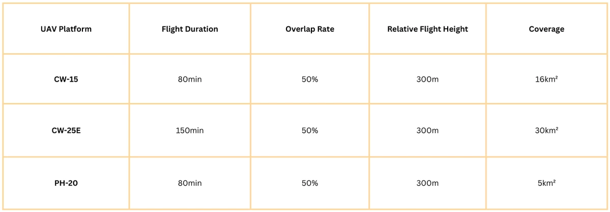
Map up to 30km² in a single flight with a CW-25 UAV (50% overlap, 300m relative height).

Choose between 60° and 75° field-of-view options to optimize data collection for various applications.

Scan from +10° forward tilt to vertical downward and -10° backward tilt.

Enhanced vegetation penetration for accurate ground surface mapping.

Fully integrated with JOUAV’s flight control system and GCS for simplified workflows and real-time control.

No need for base stations or ground control points.
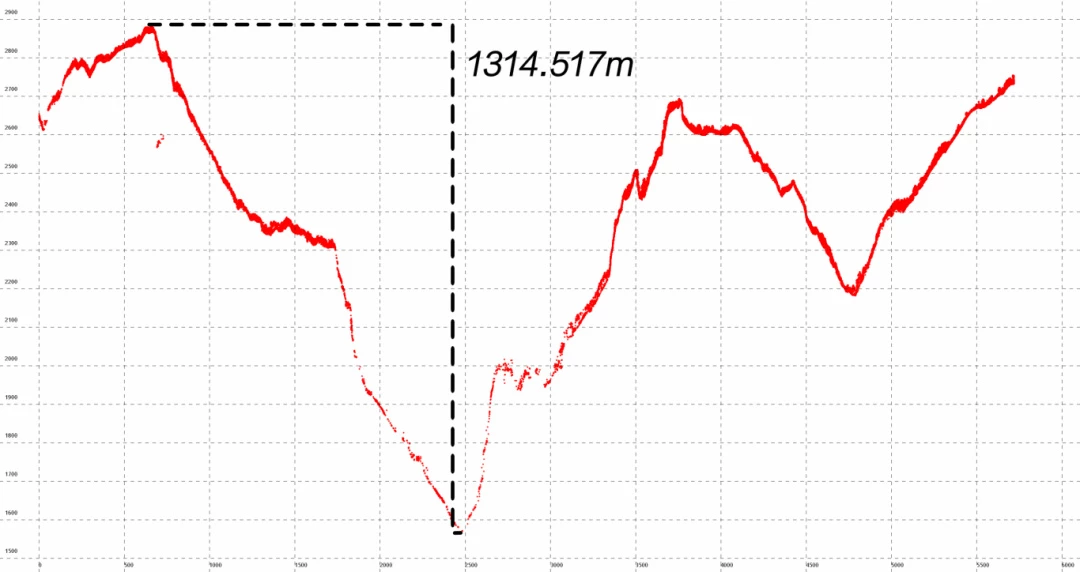
The maximum range of the JoLiDAR-120G is up to 1800 m. This makes it suitable for large-scale mapping in rugged, high-relief terrains. This reduces the requirement for multiple passes over deep valleys or complex geological formations, improving field efficiency.
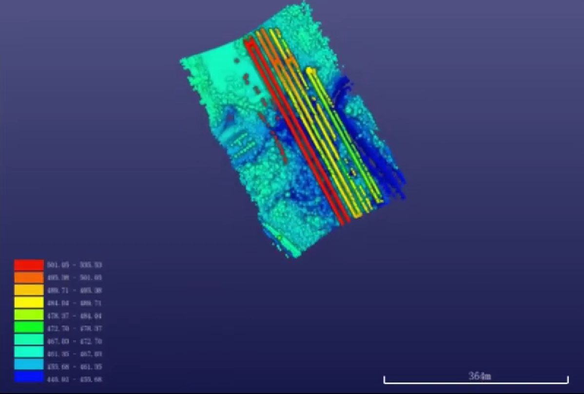
**The system was tested and the maximum point cloud elevation difference reached 1314.517 m, while the measurement range was higher than 1500 m even at a relative flight height of 260 m.**
With a high pulse repetition frequency of 2,000 kHz and an equivalent scanning frequency of 900 lines/second, it provides ultra-high-resolution point clouds that are ideal for accurately mapping intricate surface features applied in urban modeling and geological surveys.
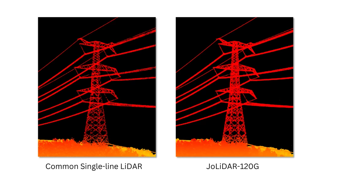
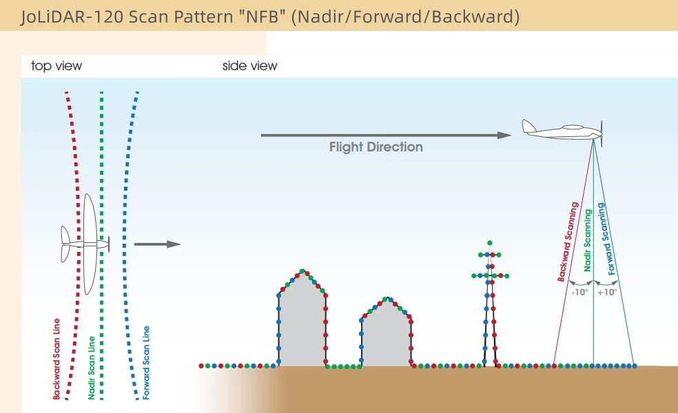
The JoLiDAR-120G scans a wide field using innovative beam steering technology from +10° forward tilt to vertical downward and -10° backward tilt. This will help capture vertical structures such as building facades and power poles with precision, making the 3D model stronger and more complete.
The JoLiDAR-120G supports up to 16 returns per pulse, leveraging advanced multi-cycle echo processing (MTA) to penetrate dense vegetation and accurately map the ground surface beneath tree canopies. This capability makes it particularly effective in forestry, environmental studies, and land-use planning.
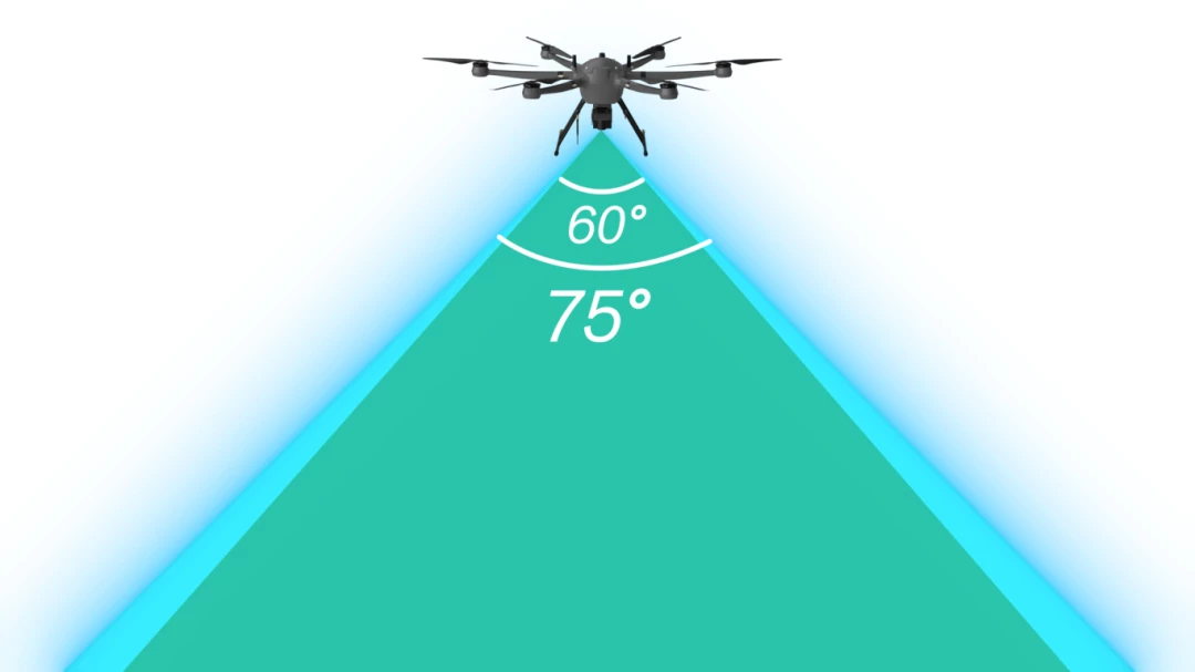
Adapt the JoLiDAR-120G to your specific project needs with customizable field-of-view (FOV) settings.
Equipped with high-performance ground equipment, the JoLiDAR-120G supports real-time 3D point cloud modeling and classification. It dynamically generates low-latency, high-precision data, delivering instant insights into environmental changes or disaster scenarios. This functionality is invaluable for emergency response teams and disaster recovery operations.
Combined Real-Time Kinematic (RTK) positioning with Inertial Measurement Unit (IMU) data, this fusion allows for accurate georeferencing of data, ensuring that every point in your dataset is precisely located in the real world, even in the most challenging environments.
The LiDAR system integrates seamlessly with the UAV platform, featuring an all-in-one design for quick switching between fixed-wing and multirotor platforms. A unified cable system ensures easy deployment and reduced setup time. Paired with JOUAV’s FlightSurv software, it delivers an enhanced user experience with:


JoLiDAR Point Cloud Processing Software is a versatile solution designed to streamline and improve the efficiency and accuracy of LiDAR data processing. To address the specific requirements of various industries, it is available in four specialized versions: Basic, Surveying, Mining, and Power.
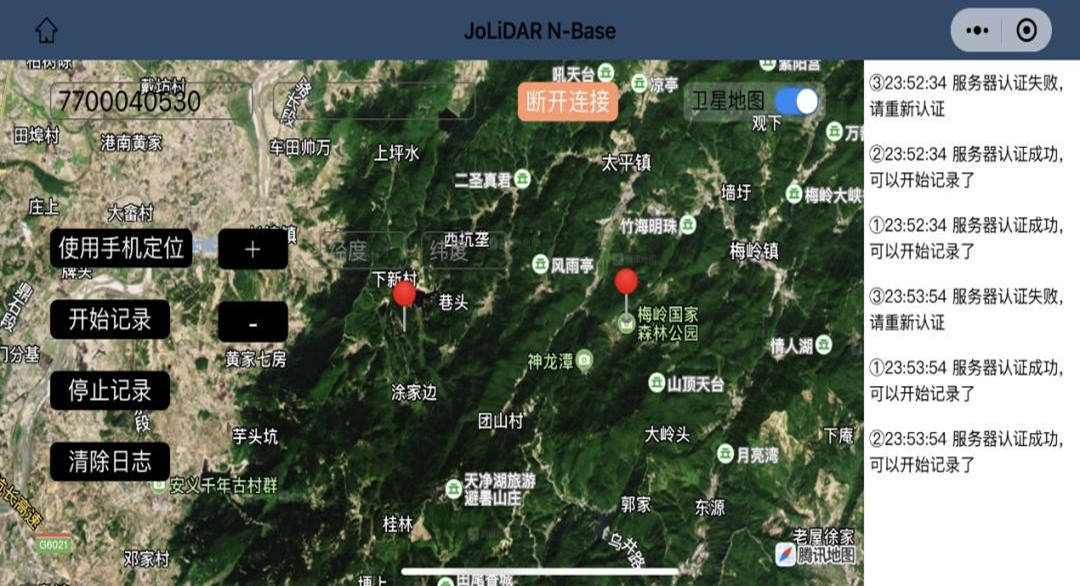
Deploy virtual base stations via mobile apps for large-scale operations. Multiple stations ensure stable post-differential accuracy in complex environments.
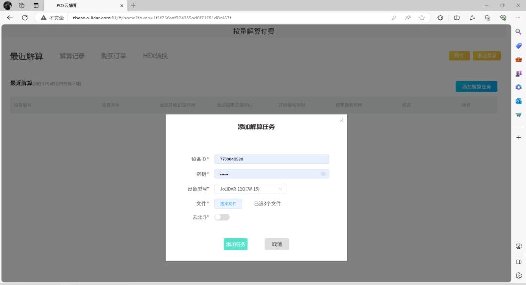
Simplifies trajectory processing workflows, allowing users to upload rover station data and automatically associate it with cloud data for precise trajectory correction. This eliminates manual steps and boosts efficiency.
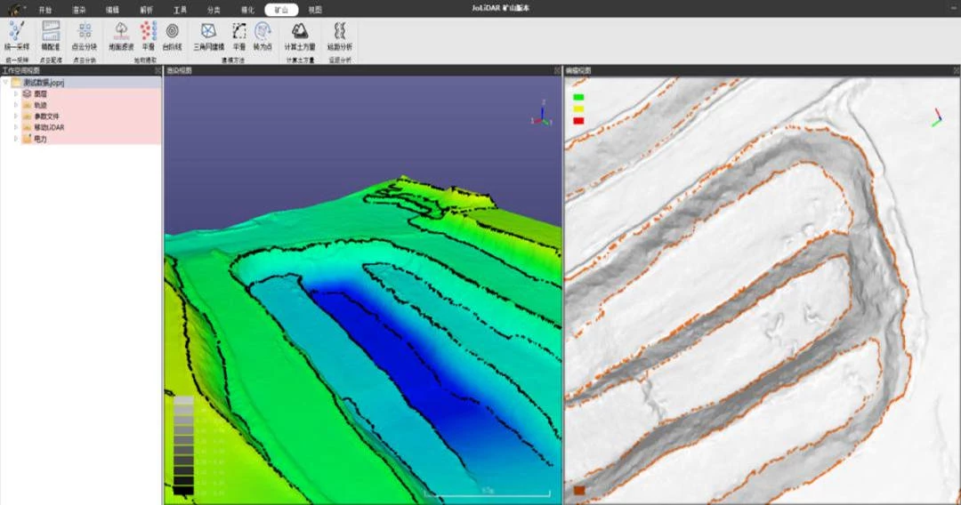
Handles complex terrain such as steep cliffs, high-relief landscapes, dense vegetation, and low shrubs. Automated filtering improves point cloud accuracy, making the system ideal for digital elevation models (DEMs) and contour mapping.
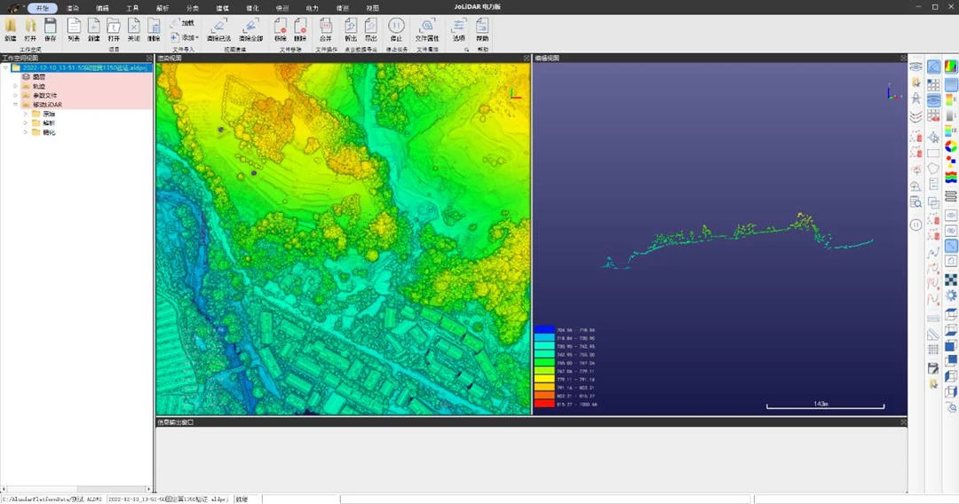
Automated adjustments for multi-UAV and multi-flight data, improving both relative and absolute accuracy. This feature accelerates data processing and increases productivity.
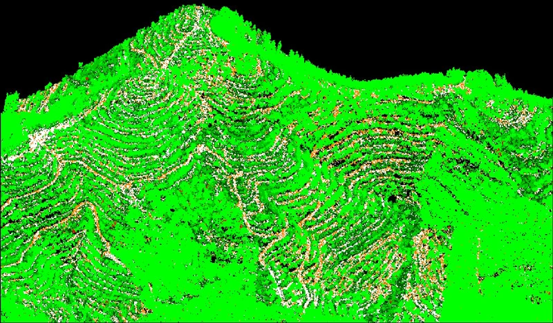
Classify point clouds based on distance, elevation, and intensity, optimizing for both coarse and fine registration to ensure uniform distribution and reduced redundancy.
Inquire price for JOUAV JoLiDAR-120G