
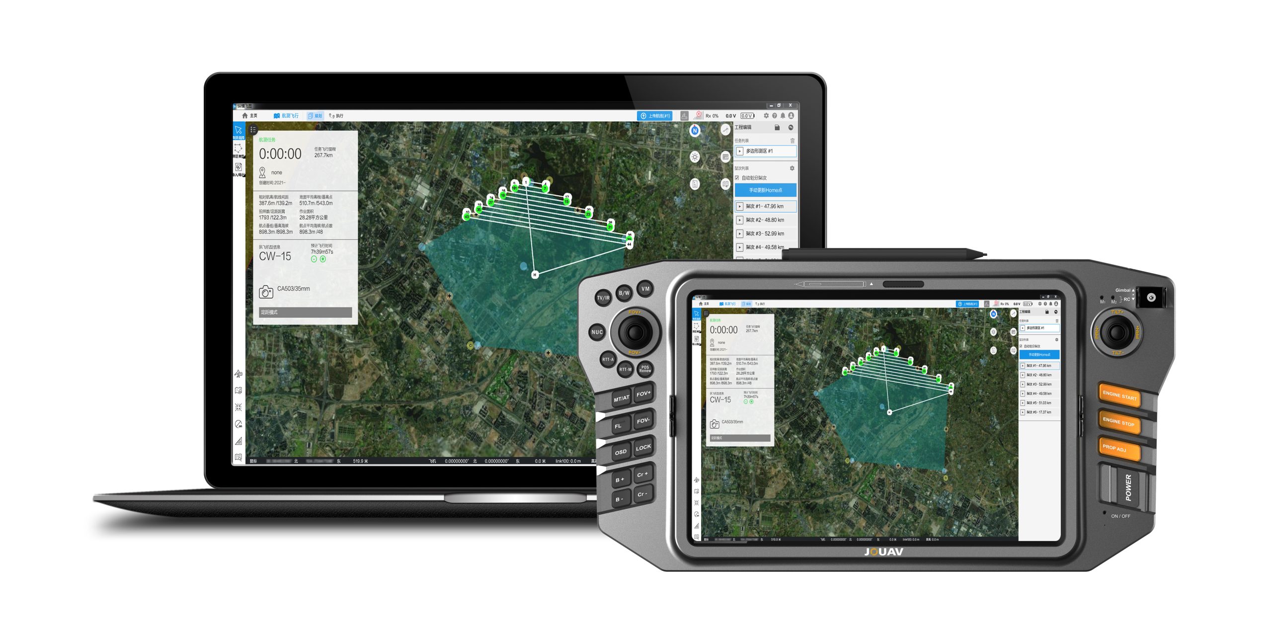
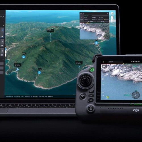
Getting the right drone mapping software is essential. Our FlightSurv is designed especially for professional drone mapping applications. This all-in-one software solution allows you to automate drone both your drone flight planning, data collection, and image transfer. In addition, it also helps you create detailed and accurate 2D and 3D visuals.
Inquire Now

Besides drone flight planning, FlightSurv can also capture images, inspect your assets, analyze collected data.

It’s easy to manage even if you have many team members or clients who need your drone data on their own mobile devices.

Users can quickly complete the entire flight mission while navigating the intuitively designed interface effortlessly.

To process 1000 photos, the software only takes only 2 hours to generate high precision TDOM and DSM.

You don’t need to land the drone between flight plans, which maximizes its efficiency in the air.

Your flight plan will automatically be generated once import a KML file that will save you 50% time.

Inquire Now
Read more
Inquire Now
Read more
Inquire Now
Read moreInquire price for FlightSurv