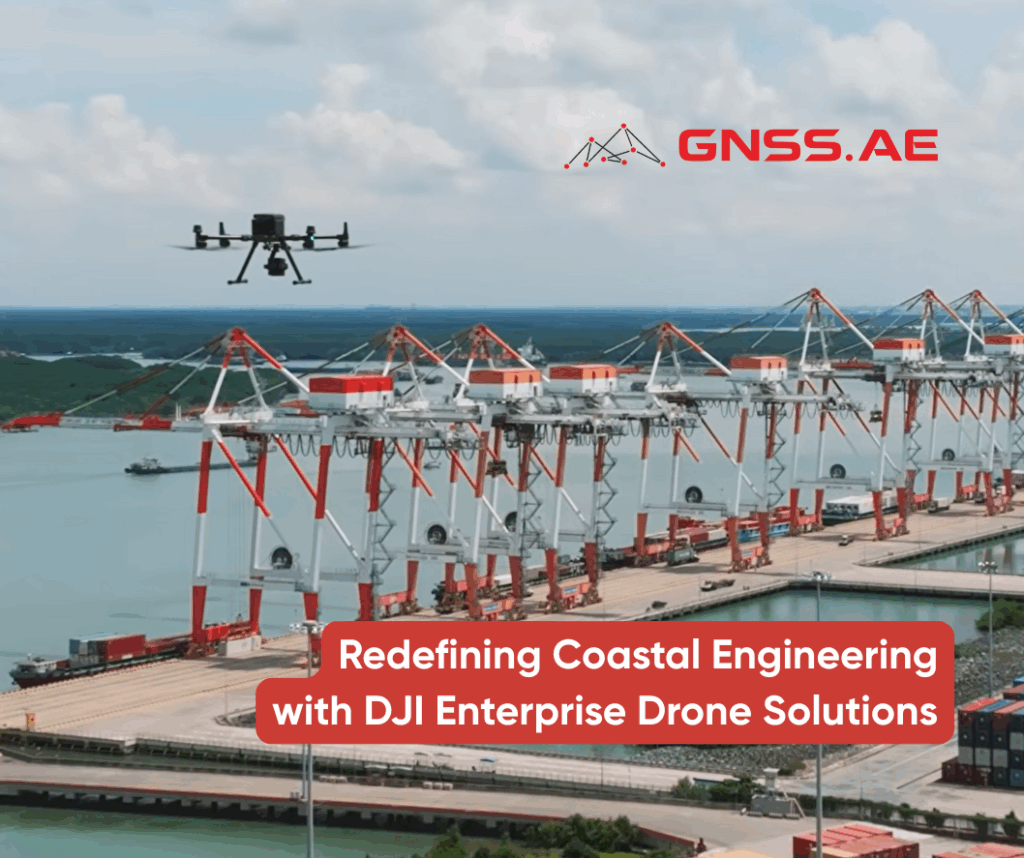
Port engineering is undergoing a transformative shift as technology takes center stage in building the future of sustainable maritime development. At the forefront of this change is Portcoast, pioneering advanced drone integration to enhance survey precision, operational safety, and environmental stewardship across complex port environments.
Through the strategic adoption of DJI Enterprise drone solutions, Portcoast has established a fully digital workflow for coastal surveys, modeling, and environmental analysis. By combining the DJI Matrice 350 RTK with DJI Zenmuse P1, DJI Zenmuse L2 sensors, and DJI Terra software, the company has achieved unprecedented levels of accuracy and efficiency in port and coastal operations.
Portcoast’s success lies in the smart integration of hardware and data. The DJI Matrice 350 RTK serves as the backbone of their aerial operations, supporting high-precision sensors like DJI Zenmuse P1 and Zenmuse L2 to deliver professional-grade survey outputs for applications ranging from topographic modeling and infrastructure inspection to environmental monitoring.
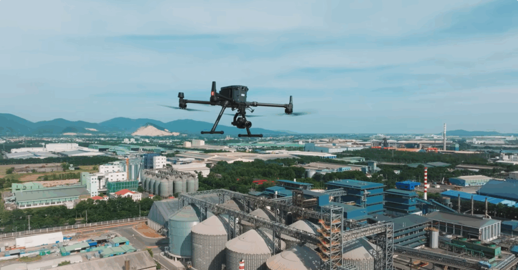
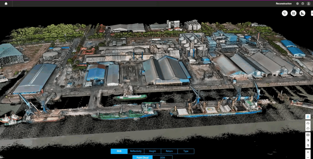
DJI Zenmuse L2 LiDAR sensor enables rapid terrain mapping, producing dense 3D point clouds—even in challenging, vegetation-covered coastal zones. This data plays a crucial role in flood prevention planning, quay wall design, and other infrastructure-critical analyses. In parallel, DJI Zenmuse P1 provides centimeter-level photogrammetry, ideal for generating detailed orthomosaics and structural assessments.
Supporting this heavy-lift fleet is the DJI Mavic 3 Enterprise (DJI Mavic 3E)—a compact and agile platform used for close-range inspections and quick-deployment missions. This multi-platform approach allows Portcoast to seamlessly transition between large-scale coastal mapping and targeted asset monitoring, ensuring both operational flexibility and data consistency.
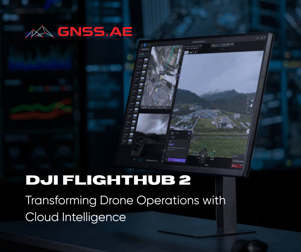
While hardware forms the operational backbone, software completes the workflow. Portcoast leverages DJI Terra for photogrammetric processing and DJI Modify for rapid model editing and refinement. This combination significantly reduces the data-to-decision cycle, enabling survey teams to complete full-site assessments, process 2D and 3D models, and deliver actionable insights to engineers in record time.
By automating key survey stages, Portcoast has developed a replicable framework for digital twin creation, terrain analysis, and predictive planning. The DJI ecosystem empowers their teams to simulate development scenarios, evaluate environmental impact, and communicate findings through rich visual data—bridging the gap between technical experts and stakeholders.
The transition to a drone-powered workflow has produced measurable outcomes:
Faster project delivery through streamlined aerial data acquisition.
Enhanced safety, reducing staff exposure to hazardous environments.
Improved decision-making through accurate, visual datasets.
Cost savings achieved by replacing slower, resource-intensive ground surveys.
With this intelligent aerial technology, the company has unlocked a new standard of efficiency, accuracy, and sustainability in coastal engineering.
The future of maritime and infrastructure development lies in intelligent aerial solutions.
Contact GNSS.AE to learn more about DJI Enterprise drone systems and discover how your organization can harness advanced UAV intelligence to transform project planning, data analysis and operational efficiency.